


Over time, property lines can become figuratively blurred. Sometimes, when installing a fence or chopping down a tree, a neighbor infringes upon another's property without even knowing it. As new residents move in and out of properties over the decades, they typically know less and less about where their property ends and their neighbor's begins. Georgia residents can research survey maps through their county's courthouse, the Georgia Superior Court Clerks' Cooperative Authority, or their municipality's historical society. Research of property survey public records is usually free, but there may be a small fee attached.
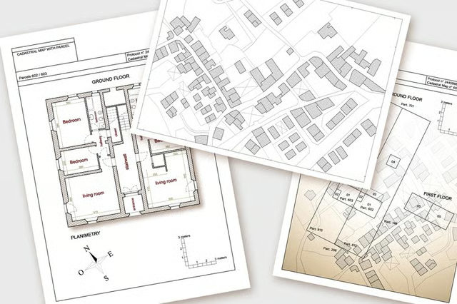
Defining Plat Maps
The terms "plat" and "plot," while similar in sound and look, do not have the same meaning and are not interchangeable. A plat is a map of land in a neighborhood or township. A plot describes the land's single purpose, such as a residence or park. A plat map is a record of the plots in a neighborhood.
When land gets subdivided into residences or made into a public-accessed location, a civil engineer draws plot boundaries for inclusion on a plat map. A plat map is one of the documents an individual receives when they buy a home. Plat maps ensure that the seller has a right to convey the property and that the buyer is getting what they want when purchasing it. If a home deed has subdivided lot numbers to describe the land it's on, it will be on a plat map, but if it uses geographical references, known as "metes and bounds," to describe a property's size and shape, it may not.
Searching Real Property Records in the State of Georgia
Many property records are available online for free or for a small fee. The Digital Library of Georgia has some documents in its archives, however, most land and ownership records are available at the homeowner's county courthouse. Property owners can search the Georgia Department of Revenue's property records page to find information about their home.
Homeowners can also search land records via plat and real estate indexes of the Georgia Superior Court Clerks' Cooperative Authority (GSCCCA), also online. Users can search for real estate records in a multitude of ways:
- Search of the former homeowners' names.
- County, book and page of the consolidated real estate indexes.
- Subdivision, block, lot and unit.
- Instrument type.
Instrument type is a premium search feature that users access by creating an account. This index contains the most recent property transactions from all counties, beginning on January 1, 1999. It includes seller and buyer names, the property's location, lien holder status, book and page information of the deed filing. When searching via instrument type, users need to remember that the organization is continually adding historical data, such as real estate records from 1993 to 1998 and will add even more records in the future.
Georgia Historical Society and Other Search Engines
Homeowners can also check with their local historical society serving their area to view land records. The Georgia Division of Archives and History holds its share of survey records, some of which are available online. The Georgia Historical Society Research Center has a vast collection of historical documents, including maps, architectural drawings, photos and artifacts. Not all of the organization's documents are digitally available – some homeowners will have to make the journey to the society's research center located in Savannah.
GLS Archives covers the Atlanta area's real estate records. It organizes its documents by location, land surveyor and company name dating back to the 1880s. GLS has the original subdivision maps of the city and surrounding areas and surveys of individual properties, sewer maps and maps of the interstate system.